
You are buying land in a small rural municipality. The mayor informs you that the plot is subject to the RNU. Your neighbor, on the other hand, is building in the nearby town under a PLU. The two projects do not follow the same rules, and the confusion between these two regimes can block a building permit. Before submitting any application, it is essential to know which urban planning regulation actually governs your plot.
Limited buildability under RNU: the trap that project holders discover too late
The National Urban Planning Regulation applies to municipalities that have not adopted either a PLU or a municipal map. It sets general rules at the scale of the French territory, codified in the Urban Planning Code. Its most structuring particularity can be summed up in one sentence: outside urban areas, construction is generally prohibited under RNU.
Read also : Discover how to navigate easily with the Pôle Conseil Habitat sitemap
In practical terms, if your land is located outside the currently urbanized areas of the municipality, you cannot build freely on it. The prefect and the mayor examine each request on a case-by-case basis. They check that the project does not compromise agricultural activity, does not harm landscapes, and respects public health.
This logic of limited buildability surprises many buyers. They purchase land thinking they can build a house, only to discover that the RNU blocks their project because the plot is isolated. To understand the difference between PLU and RNU, the first reflex should be to check whether the municipality has a local urban planning document or not.
Further reading : Protecting Your Skin from the Sun: How to Choose Your Sunscreen?
The RNU also regulates technical aspects: distances between buildings, access by networks, protection of archaeological sites, preservation of the environment. These rules remain general and leave little room for adaptation to the local context.

Zoning of the PLU: precise rules for each plot
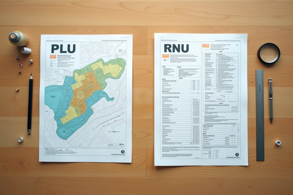
The Local Urban Planning Plan operates on an opposite logic. The municipality (or the intermunicipality in the case of a PLUi) divides its territory into zones, each associated with its own regulations. You may have seen these letters on a cadastral plan: U, AU, A, N. Each corresponds to a specific use.
- U zones (urban) allow immediate construction, provided that the height, placement, and appearance rules defined in the zoning regulation are respected.
- AU zones (to be urbanized) are reserved for the future expansion of the city. They often require prior development (roads, networks) before becoming buildable.
- A zones (agricultural) and N zones (natural) protect cultivated land and natural spaces. Building in these areas remains highly regulated, even prohibited except for exceptions.
The PLU regulation goes much further than the RNU. It can impose facade materials, roof colors, a number of parking spaces, and a precise distance from public roads. Each zone has its own detailed prescriptions, which gives the mayor a fine-tuning tool for development.
For a project holder, this precision is an advantage. By consulting the regulations of the zone where your plot is located, you know exactly what is allowed even before drawing your plans. Under RNU, this visibility does not exist in the same way.
PLUi and the goal of zero net artificialization: what changes between neighboring municipalities
The distinction between PLU and RNU is not only about the form of the document. It has direct consequences on a municipality’s ability to control its development. Since the Climate and Resilience Law, PLUs and PLUis must incorporate quantified trajectories for reducing land consumption. This is the famous goal of zero net artificialization (ZAN).
Municipalities still under RNU do not have the same level of control. They do not have zoning that allows them to precisely indicate where to build and where to preserve. The result: disparities in urbanization control between neighboring territories, sometimes separated by only a few kilometers.
The shift to PLUi
More and more municipalities under RNU are transitioning to an intermunicipal PLU led by their EPCI (public establishment for intermunicipal cooperation). This transfer modifies the local balance. The municipality loses some regulatory autonomy but gains coherence at the level of the living area: unified zoning, common rules, and a project logic for the territory.
For an individual, the transition from RNU to PLUi changes the thresholds and required documents in a permit application. A plot that was unbuildable under RNU can become buildable if the new PLUi classifies it as zone U or AU. The reverse is also true: a plot on the edge of a village can end up in zone A or N.
Check the applicable regulation for your land: the concrete steps
Are you considering buying or building? The first step is to contact the urban planning department of the town hall. Ask if the municipality has a PLU, PLUi, or a municipal map. If none of these documents exist, the RNU applies.
- Request a urban planning information note: this free document specifies the applicable regime for your plot and any potential easements.
- Consult the zoning plan online (most municipalities equipped with a PLU publish it on the urban planning geoportal) to identify the zone of your land.
- In RNU zones, inquire with the town hall about the position of the land in relation to the currently urbanized areas, as this criterion determines buildability.
Do not rely solely on the cadastral map. The cadastral map indicates property boundaries, not building rights. Only the applicable urban planning document (PLU or RNU) defines what you can do on your plot.
The difference between PLU and RNU comes down to a question of precision and local control. The PLU offers a detailed framework, adapted to the territory, with readable rules in advance. The RNU guarantees a minimal foundation of national rules but significantly limits buildability outside urban areas. Identifying the correct regime before any purchase remains the most cost-effective precaution for a real estate project.